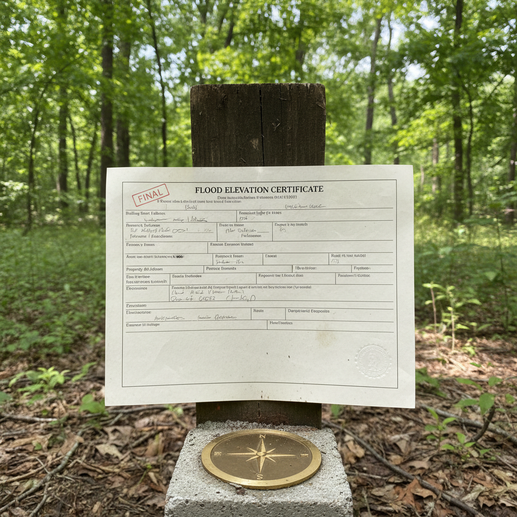
Trying to pull property records online often leads to a surprise when a mortgage lender suddenly demands a flood elevation certificate. Living near the Cape Fear River basin or dealing with low-lying sandy loam soils around Cumberland County means water management is a constant reality. When heavy tropical systems push up from the coast, property elevations matter more than ever.
Before you hire anyone or spend a dime, you can do a little homework yourself. Start by checking the NC Flood Risk Information System online to see your current FEMA zone. Grab your old closing paperwork or property deed too. You can look up your house on the county GIS mapping tool to get a rough idea of your lot lines and proximity to any nearby creeks or special flood hazard areas. What you cannot do yourself—no matter how handy you are with a tape measure—is legally certify building elevations for your insurance company.
Once you realize a professional is required, the project moves into the active phase. Fayetteville Land Surveyors steps in to handle the heavy lifting at this stage. We come out to your property with high-precision GPS equipment and optical levels to shoot exact elevations on your lowest finished floor, garage, machinery, and the surrounding ground. You do not need to clear the whole yard, but making sure our crew has clear access to exterior doors and foundation vents helps speed things up considerably.
After the field work is wrapped up, the technical drafting begins back at the office. We fill out the official FEMA elevation certificate form, making sure every benchmark, photo, and datum matches local standards. You will get a signed, sealed document that you can hand straight to your insurance agent or mortgage provider to potentially lower your annual premiums or clear up a map discrepancy. Keep a digital copy backed up safely, especially if you live in a neighborhood prone to seasonal downpours.