Land Surveyor · Fayetteville, NC

Accurate Land Surveys for Fayetteville Properties

Fayetteville Land Surveyors provides precise property boundary and topographic surveys, ensuring your project starts on solid ground.

Get a Free Quote 910-812-3503
Licensed & Insured
For Your Protection
Free Estimates
No Obligation
Locally Owned
Fayetteville Roots
Clear Maps
Easy to Understand
Land Surveyor Experts

Why Fayetteville Chooses Our Surveys

In Fayetteville, understanding your property lines and terrain is more than just a formality; it's essential for any successful project. We've seen firsthand how crucial accurate data is, whether you're planning an addition in Jack Britt or developing a new commercial space near Fort Liberty. Our process involves a thorough site assessment, leveraging our deep knowledge of local zoning ordinances and the region's diverse soil conditions, from sandy loams to heavier clays. We deliver clear, actionable survey maps that account for everything from existing infrastructure to potential drainage challenges. When you work with us, you get reliable information that protects your investment and prevents costly disputes, all delivered with straightforward communication and local expertise.

910-812-3503

Get a Free Quote

Tell us about your project and we'll be in touch within 24 hours.

What We Do

Our Land Surveyor Services

01

Boundary Surveys

Boundary Surveys

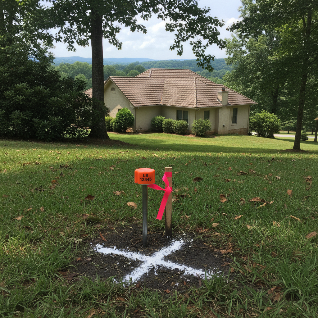
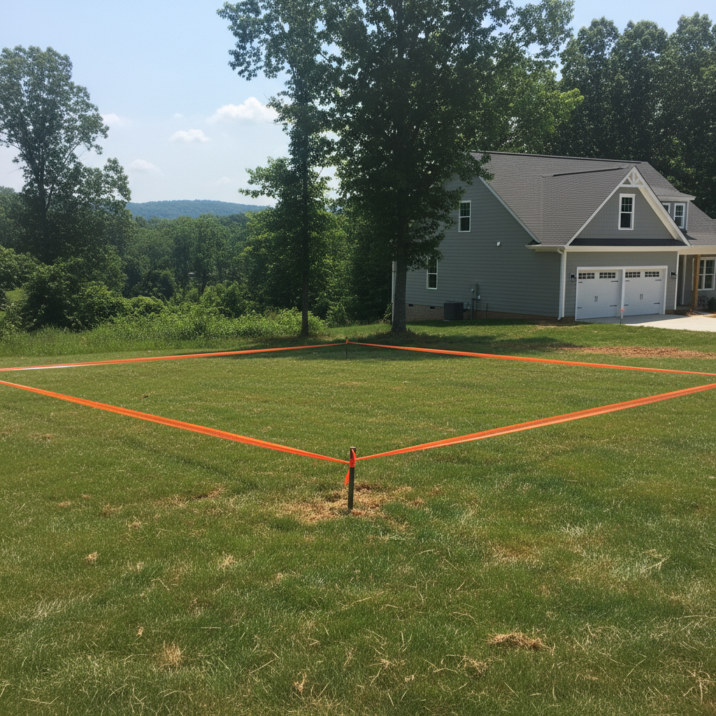
A boundary survey precisely locates your property lines and corners, providing legal documentation of your land's extent. This service helps prevent disputes, clarifies ownership, and is essential for construction or property transactions in Fayetteville.

VIEW SERVICE →
02

Topographic Surveys

Topographic Surveys

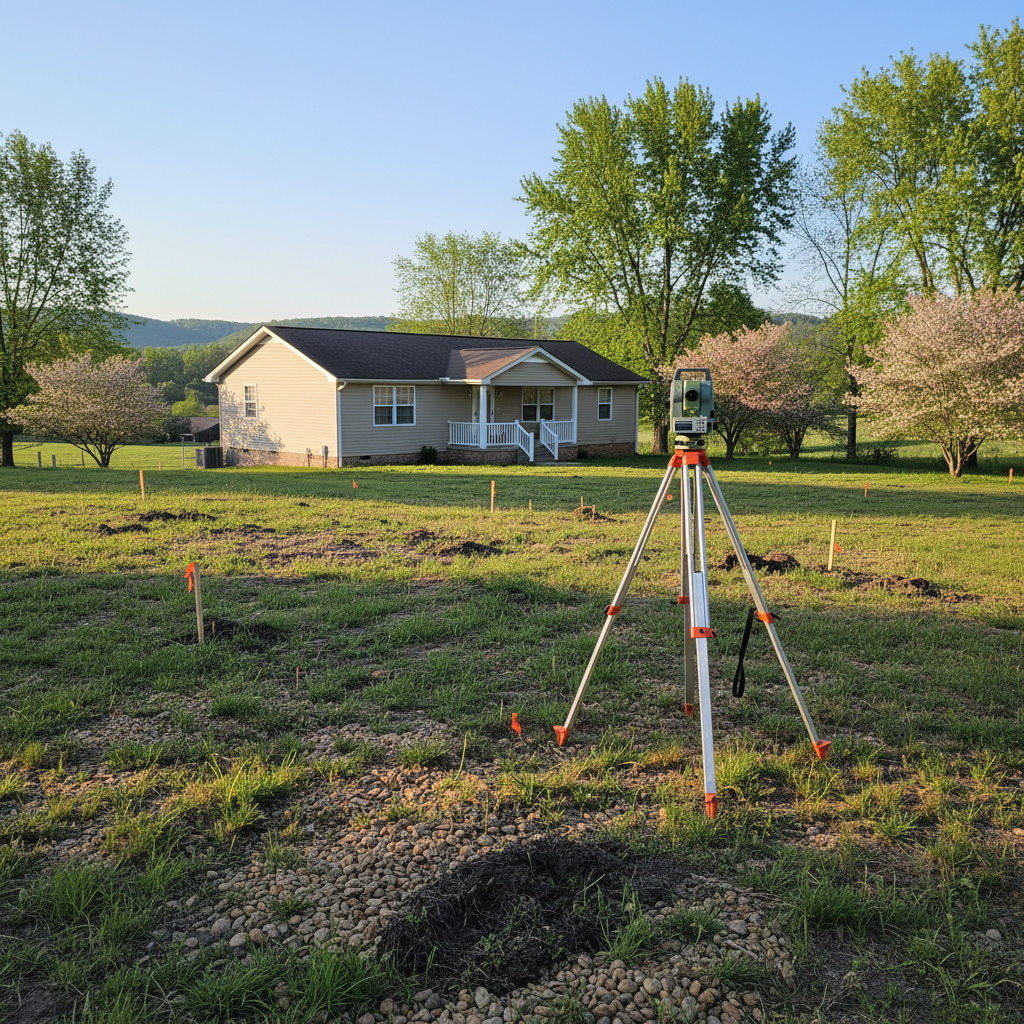
Topographic surveys map the natural and man-made features of a property, including elevation changes, existing structures, and utilities. This detailed information is crucial for site planning, engineering design, and navigating Fayetteville's varied terrain.

VIEW SERVICE →
03

ALTA/NSPS Surveys

ALTA/NSPS Surveys

An ALTA/NSPS Land Title Survey provides a detailed land survey prepared to a specific set of national standards, primarily used for commercial property transactions. This survey minimizes risks for all parties involved by clearly defining boundaries, improvements, and potential encumbrances.

VIEW SERVICE →
04

Construction Staking

Construction Staking

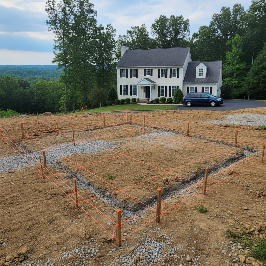
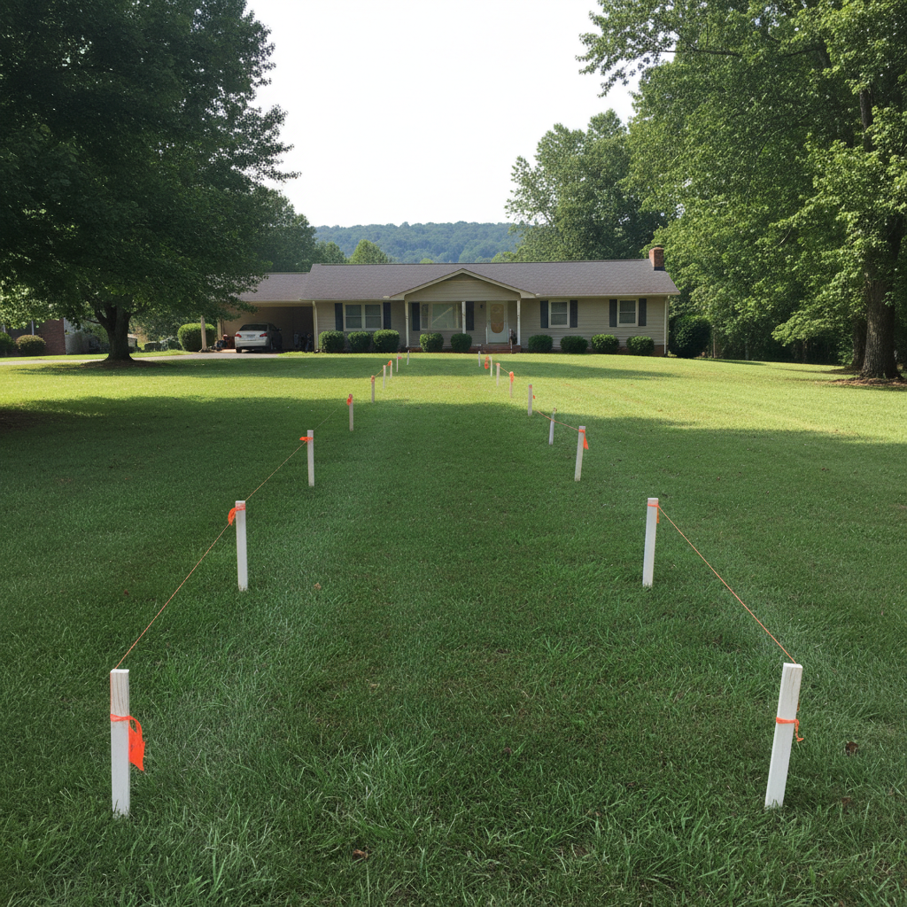
Construction staking precisely marks out your building plans on the ground, guiding contractors for accurate foundation, utility, and property line placement. This service prevents costly errors and ensures your project aligns perfectly with approved designs and local Fayetteville codes.

VIEW SERVICE →
05

Subdivision Platting

Subdivision Platting

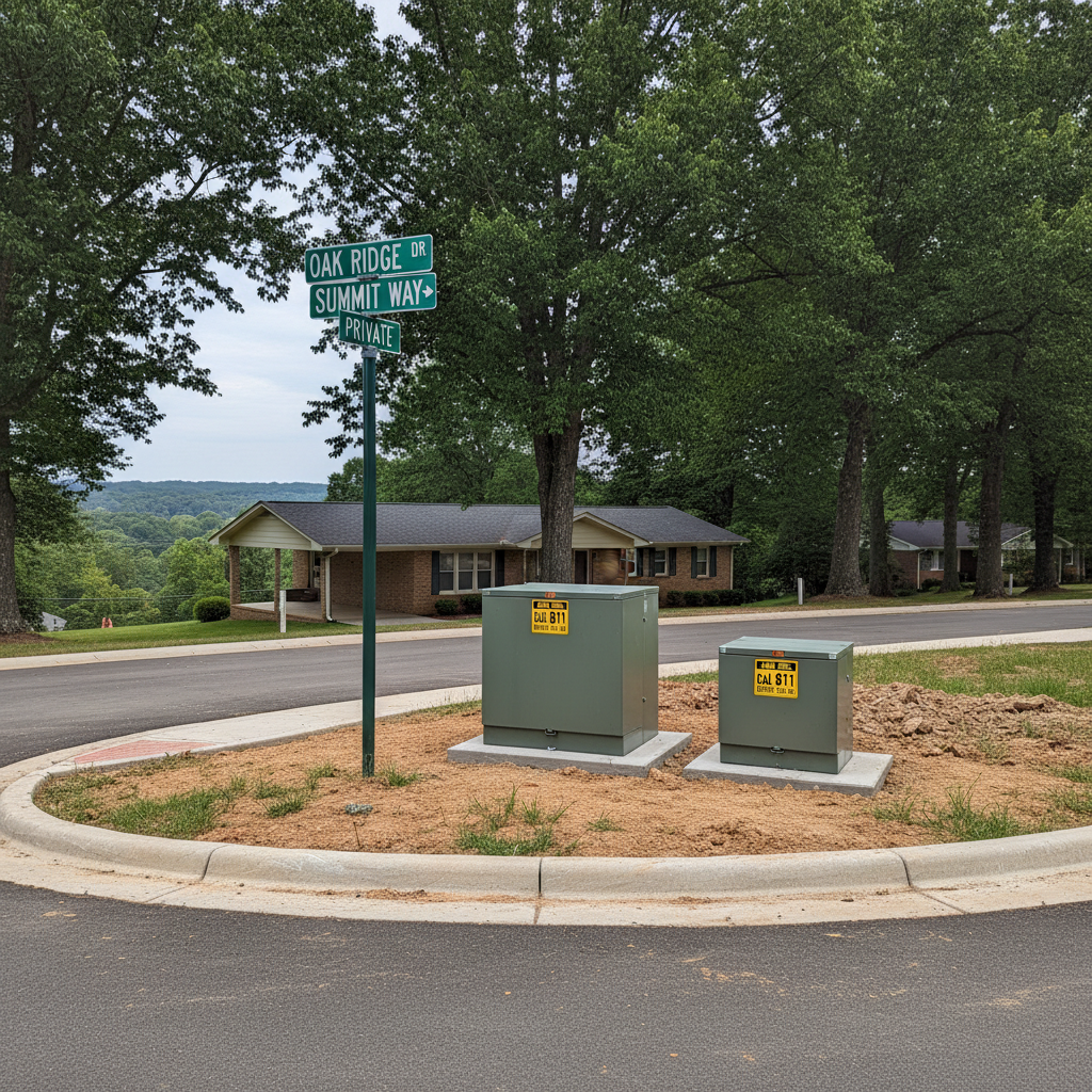
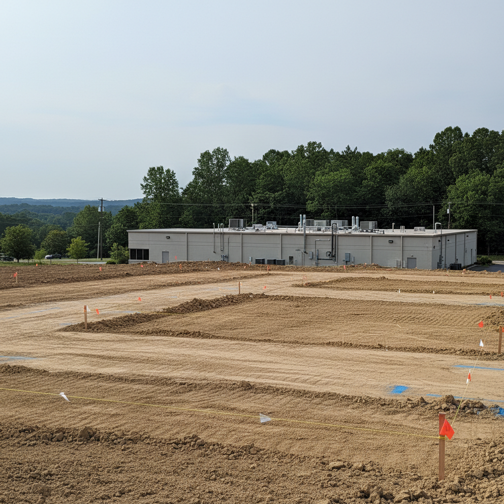
Subdivision platting involves legally dividing a parcel of land into smaller lots, including the design of new streets, utilities, and public spaces. This process ensures your development complies with Fayetteville's zoning ordinances and land use regulations.

VIEW SERVICE →
06

Easement Surveys

Easement Surveys

Easement surveys define and map specific rights-of-way or access privileges across a property, providing clear documentation for legal and development purposes. This service helps property owners in Fayetteville understand and protect their land rights, preventing future disputes.

VIEW SERVICE →
07

Flood Elevation Certificates

Flood Elevation Certificates

A Flood Elevation Certificate (FEC) is a document that provides elevation information about a property, its lowest floor, and the surrounding ground level relative to the Base Flood Elevation (BFE). This certificate is essential for determining flood insurance rates and complying with local floodplain management ordinances in Fayetteville.

VIEW SERVICE →
08

Mortgage Surveys

Mortgage Surveys

A mortgage survey determines property lines and improvements relative to those lines, providing essential information for lenders and buyers. This survey helps confirm the property's legal description and identifies any potential encroachments before a sale closes.

VIEW SERVICE →
09

Site Planning Surveys

Site Planning Surveys

Site planning surveys map existing site conditions and proposed improvements, providing essential data for development. This survey ensures your project design aligns with local zoning and environmental regulations in Fayetteville.

VIEW SERVICE →
10

As-Built Surveys

As-Built Surveys

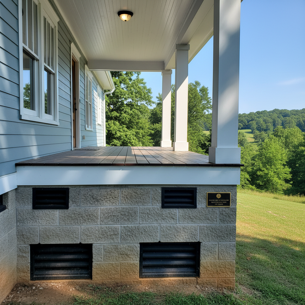
An as-built survey documents the precise location of recently constructed improvements and utilities on a property. This survey confirms that new construction aligns with approved plans and local zoning ordinances.

VIEW SERVICE →
11

FEMA LOMA/LOMR

FEMA LOMA/LOMR

A FEMA LOMA/LOMR service determines if your property is truly in a high-risk flood zone and can remove it from designated flood plains. This often leads to significant savings on mandatory flood insurance premiums for Fayetteville homeowners.

VIEW SERVICE →
12

GPS Control Surveys

GPS Control Surveys

GPS Control Surveys establish highly accurate geodetic control points using Global Positioning System technology, providing foundational data for large-scale projects. This precision is critical for infrastructure development, mapping, and maintaining spatial integrity across Fayetteville.

VIEW SERVICE →

Fayetteville's Local Land Surveyor Experts

Fayetteville Land Surveyors is proud to serve Fayetteville, NC and the surrounding communities. Our reputation is built on honest work, clear communication, and results that hold up over time.

Facebook
5/5 Customer Rating
Google
5/5 Customer Rating
LinkedIn
5/5 Customer Rating
FAQ

Frequently Asked Questions

A typical land survey in Fayetteville, NC, usually takes between one to three weeks from initial contact to final delivery, depending on the property's complexity and our current schedule. Simpler boundary surveys for well-documented lots might be quicker, while larger parcels with unclear historical records or dense vegetation can extend the timeline. We always provide an estimated completion date upfront, factoring in local weather patterns and potential site access issues. Our goal is to deliver accurate results efficiently so your project can move forward without unnecessary delays.
The cost of a land survey in Fayetteville, NC, varies significantly based on factors like property size, terrain, existing documentation, and the type of survey required. A basic boundary survey for a residential lot might range from $500 to $1,000, while a more complex topographic or ALTA survey for a larger commercial property could be several thousand dollars. We provide a detailed, no-obligation estimate after discussing your specific needs and reviewing available property information. Our pricing reflects the precision and local knowledge we bring to every job.
You need a land survey before building or fencing in Fayetteville to clearly establish your property boundaries and avoid encroachment disputes with neighbors. Local zoning ordinances and setback requirements are strictly enforced, and a survey ensures your proposed structure or fence complies with these regulations. Without a current survey, you risk building on someone else's land, facing costly demolition, or having to relocate your new construction. It's a foundational step that protects your investment and maintains good neighborly relations.
We offer several types of land surveys for Fayetteville properties, including boundary surveys to define property lines, topographic surveys to map elevation and features, and ALTA/NSPS land title surveys for commercial real estate transactions. We also conduct construction staking, subdivision surveys, and flood elevation certificates. Each survey type serves a specific purpose, from resolving property disputes to guiding new construction projects or satisfying lender requirements. We can help you determine the exact type of survey you need for your specific situation here in Fayetteville.
Fayetteville's climate and terrain can certainly affect land surveying, particularly with our hot, humid summers and occasional heavy rains. Dense vegetation growth, common in our area, can obscure boundary markers and make site access challenging, requiring more time for fieldwork. Our varied terrain, from the flat areas near the Cape Fear River to more undulating landscapes, also influences survey methods and equipment choice. We're experienced in navigating these local conditions, ensuring accurate data collection regardless of the season or site characteristics. We plan our work to account for these environmental factors, delivering reliable results.

Proudly Serving Fayetteville and the Surrounding Area

From Fayetteville to the surrounding communities, we bring the same level of care and craftsmanship to every job — whether it's a quick repair or a full project.

Get Started Today

Get Your Fayetteville Property Surveyed

Contact us today for a free estimate and reliable local expertise.

Get Your Free Quote 910-812-3503